Root:/
├
Computing Urbanism
├
About
├
Content
├
Experiments
Computing Urbanism
Urban design, parametric design, and urban data analysis.
root:/
About
Background on Computing Urbanism and its research focus.
Content
Browse projects, articles, and case studies.
Experiments
Interactive tools and data visualizations.
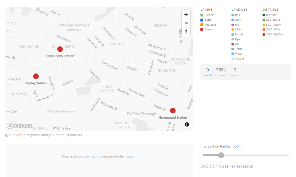
Distance Intersection
Buffer analysis for transit stop catchment areas and building coverage.
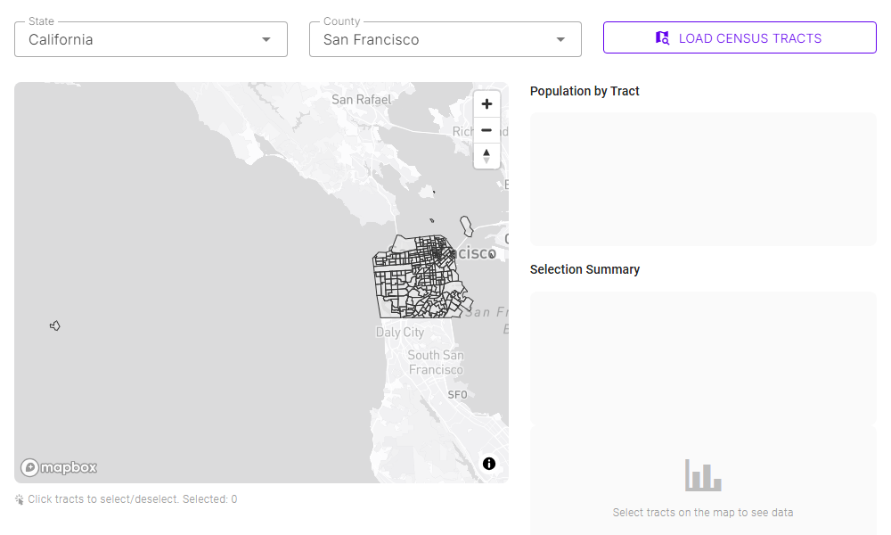
Census Map
Interactive census tract selection with population data visualization.
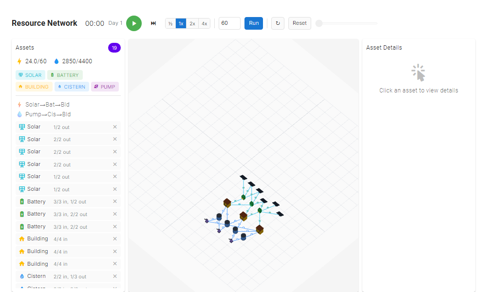
Resource Dashboard
Interactive dashboard for urban resource metrics and analysis.
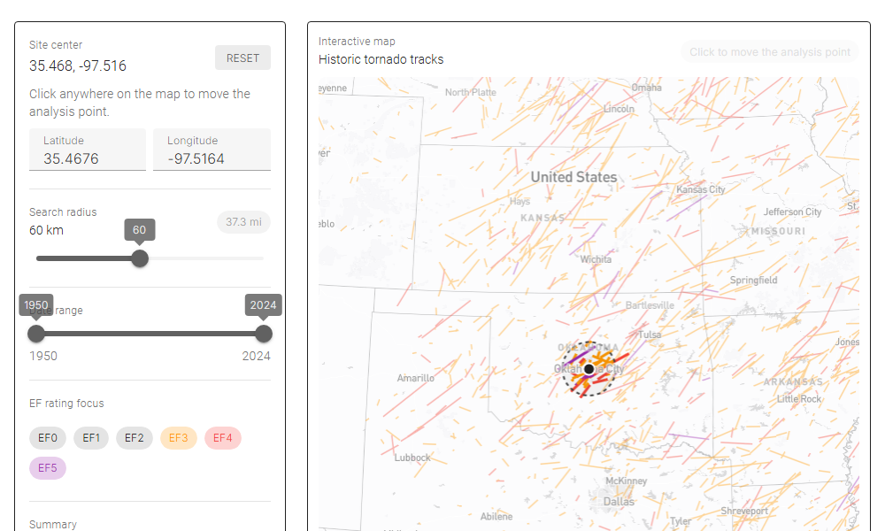
Tornado Return Periods
PlotJS and Mapbox dashboard for historical tornado tracks and recurrence intervals.
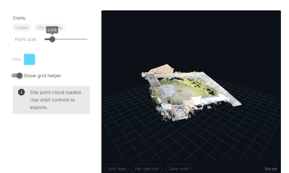
3D Point Cloud
Interactive 3D point cloud visualization and exploration.
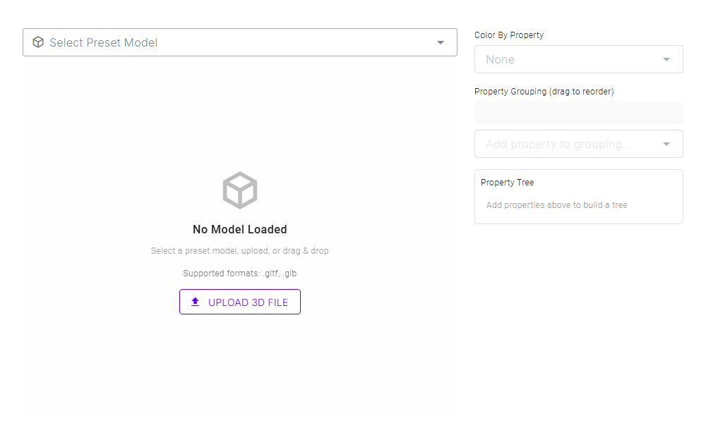
3D Viewer
Load 3DM models, explore object properties, and visualize with interactive property trees.
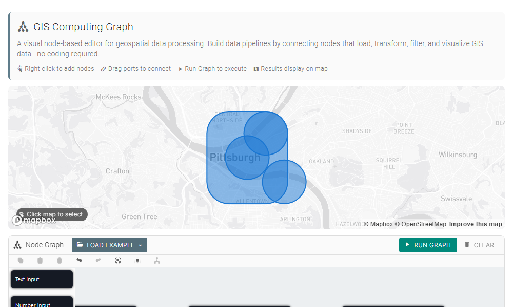
GIS Computing Graph
Visual node-based editor for geospatial data processing. Build pipelines by connecting nodes that load, transform, filter, and visualize GIS data.
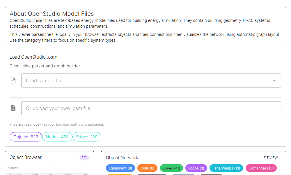
OpenStudio Model Viewer
Parse and explore OpenStudio .osm files with interactive object browser, category filtering, and network visualization.
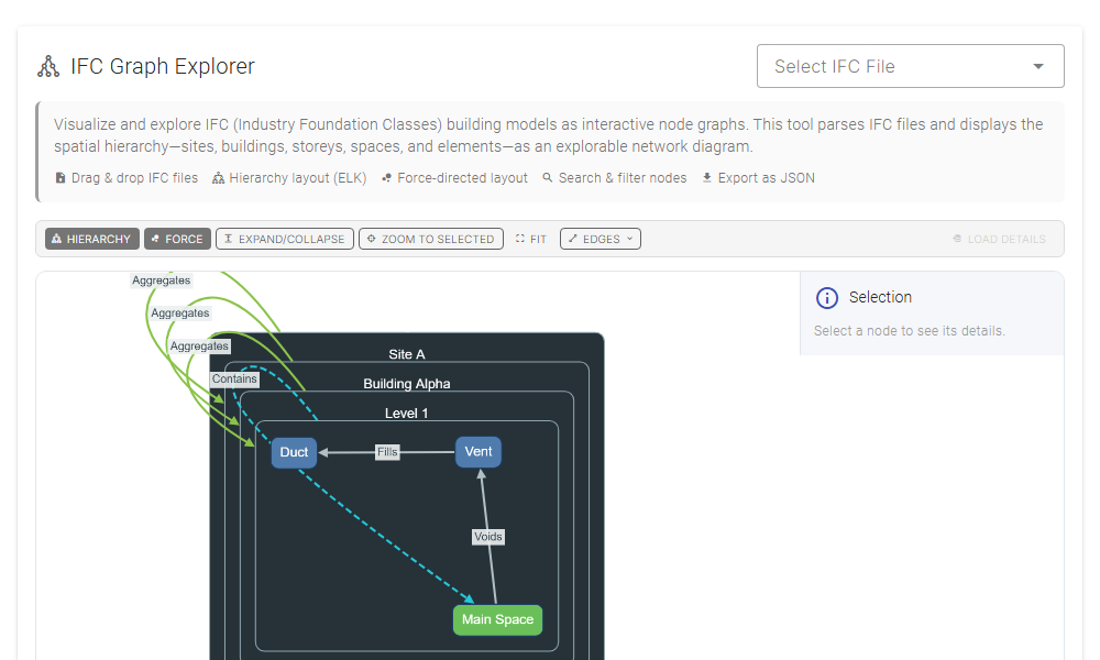
IFC Graph Explorer
Load IFC models into a compound-aware Cytoscape canvas with layouts and filtering.
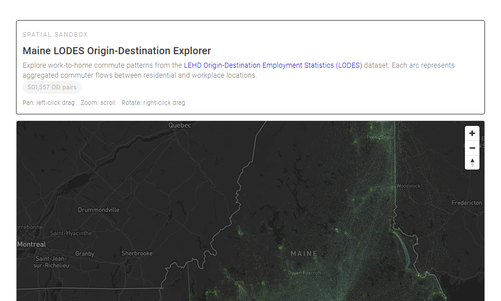
LODES Explorer
Load Kepler-origin OD data, reuse its config, and render arcs/points on a deck.gl map overlay.
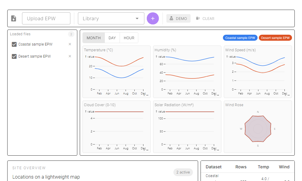
EPW Weather Lab
Upload multiple EPW weather files, toggle datasets, and compare key signals with Plot charts and a lightweight map.
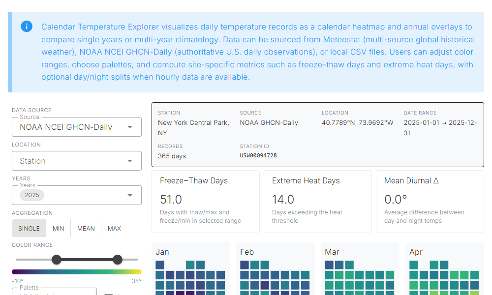
Calendar Temperature Explorer
Calendar heatmaps and annual overlays for daily temperature records with Meteostat, NOAA GHCN, or local CSV data.
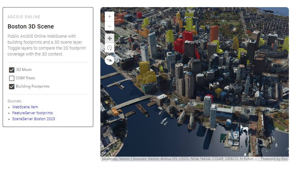
ArcGIS Boston 3D Scene
ArcGIS Online WebScene with Boston 3D context and building footprint layers.